
You are using an out of date browser. It may not display this or other websites correctly.
You should upgrade or use an alternative browser.
You should upgrade or use an alternative browser.
21,4° east GovSat-1
- Thread starter dreamsat
- Start date


dreamsat
Specialist Contributor
- My Satellite Setup
- 2,20m Kathrein, 3,7m Andrew, KU,KA,C,C-Ext. LNBs
- My Location
- germany
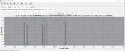
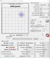
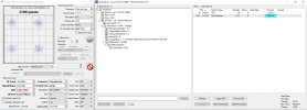
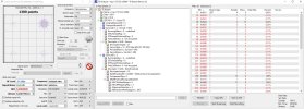
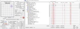
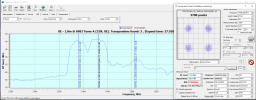
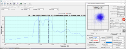
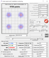
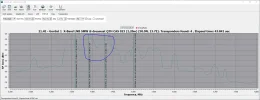
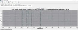
I checked this position today. It looks as if two satellites are very close together. At the GovSat 1 position, transponders 7390 L and 7430 L can be received with maximum accuracy. Strangely, their elevation is lowered by 1°. However, the satellite is about 0.7° to the east is a other transponders 7358 L, 7407 L, and 7502 L can be received. This position fluctuate, and without data from a NIT or TLE, it's difficult to tell which satellite's position is. (Syracuse 3A ???) Perhaps S-Band can do another check.
Attachments
Last edited: